
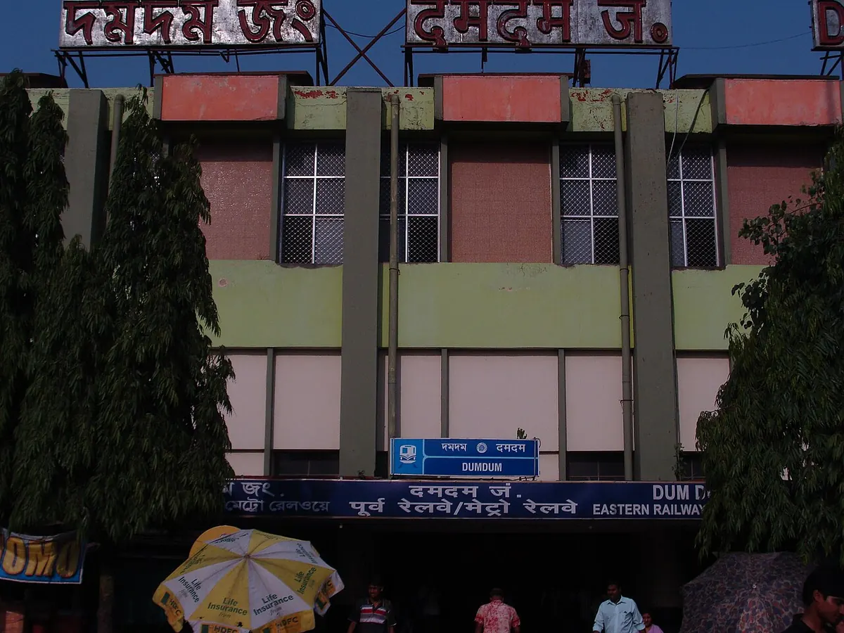
Nearest metro station to Aditya Hospital, Kolkata
Dum Dum is the nearest metro station to Aditya Hospital, about 2.1 km away, a walk of roughly 36 minutes.
Dum Dum metro station on the Blue Line is the closest to Aditya Hospital, about 2057 m away, a walk of roughly 36 minutes. Dum Dum Cantonment is 2437 m off, on the Yellow Line, and takes about 42 minutes on foot. Belgachia is on the Blue Line at 2801 m, and Central Park is on the Green Line at 2837 m, with walks of 49 minutes each.
Dum Dum railway station is 2.1 km away with 454 trains, far more than any other station here, so it is the best choice for a train trip. Patipukur railway station is also 2.1 km away, with 26 trains, and Dum Dum Cant railway station is 2.3 km away with 165 trains. From Noapara, Dum Dum metro station is about 4 minutes with no change, and from Dakshineshwar about 12 minutes. Diamond Plaza and Nagerbazar Bus Station are nearby landmarks.
Metro stations near Aditya Hospital
| Station | Distance | First / last metro |
|---|---|---|
| Dum Dum Blue Line |
2.1 km 36 min walk |
06:12 to 23:16 |
| Dum Dum Cantonment Yellow Line |
2.4 km 42 min walk |
06:04 to 22:36 |
| Belgachia Blue Line |
2.8 km 49 min walk |
06:15 to 23:12 |
| Central Park Green Line |
2.8 km 49 min walk |
06:03 to 22:53 |
Straight-line distance from the Aditya Hospital map point; the walk along roads is longer, so walking times are estimates.
Map


Tips for getting to Aditya Hospital
- Dum Dum metro station is the closest, 2057 m away, about 36 minutes on foot.
- Dum Dum Cantonment metro station is on the Yellow Line, 2437 m away.
- Dum Dum railway station has 454 trains, the most among the railway stations here.
- From Noapara, the metro to Dum Dum takes about 4 minutes with no change.
Metro to Dum Dum (for Aditya Hospital) from popular stations
| From | Time | Changes |
|---|---|---|
| Dakshineshwar to Dum Dum | 12 min | Direct |
| Howrah Maidan to Dum Dum | 28 min | 1 |
| Noapara to Dum Dum | 4 min | Direct |
| Shahid Khudiram to Dum Dum | 46 min | Direct |
| Baranagar to Dum Dum | 8 min | Direct |
| Belgachia to Dum Dum | 4 min | Direct |
Nearest railway station to Aditya Hospital
| Railway station | Distance | Trains |
|---|---|---|
| Patipukur (PTKR) | 2.1 km | 26 |
| Dum Dum (DDJ) | 2.1 km | 454 |
| Dum Dum Cant (DDC) | 2.3 km | 165 |
Straight-line distance. Train counts are trains that stop at the station in our timetable.
Buses near Aditya Hospital
| Bus stop | Distance | Buses |
|---|---|---|
| Dum Dum Park 9 min walk | 502 m | 3C/1, 3C/2, 30B, 30D, 219, 219/1, 221, 223 |
| Bangur 10 min walk | 575 m | 3C/1, 3C/2, 30B, 30D, 219, 219/1, 221, 223 and 1 more |
Nearest bus stand: Nagerbazar Bus Station, about 853 m away.
Straight-line distance; walking time adds a little for streets. Bus routes are from OpenStreetMap.
Questions about getting to Aditya Hospital
Which metro station is nearest to Aditya Hospital?
Dum Dum on the Blue Line, 2057 m away.
Is Dum Dum Cantonment on the same line as Dum Dum?
No. Dum Dum Cantonment is on the Yellow Line, while Dum Dum is on the Blue Line.
Which railway station is nearest to Aditya Hospital?
Patipukur railway station, 2.1 km away with 26 trains. Dum Dum railway station is also 2.1 km away, with 454 trains.
Which is the nearest metro station to Aditya Hospital?
Dum Dum on the Blue Line (Kolkata Metro) is the nearest metro station to Aditya Hospital, about 2.1 km away in a straight line, roughly a 36 minute walk.
Is there another metro station near Aditya Hospital?
Yes. Dum Dum Cantonment is about 2.4 km away (Kolkata Metro).
Which is the nearest railway station to Aditya Hospital?
Patipukur (PTKR) is the nearest railway station, about 2.1 km away, with 26 trains stopping there.
Which buses stop near Aditya Hospital?
Dum Dum Park bus stop is about 502 m from Aditya Hospital, roughly a 9 minute walk. Routes 3C/1, 3C/2, 30B, 30D, 219 and 219/1 stop there in our data.
Which is the nearest bus stand to Aditya Hospital?
Nagerbazar Bus Station is about 853 m from Aditya Hospital in a straight line.
Timings and fares: Metro Railway, Kolkata (Indian Railways) (official site), checked 2026-10-03. Times at intermediate stations are estimates. Station locations: OpenStreetMap contributors. Not affiliated with any metro operator.
Place location: OpenStreetMap.