
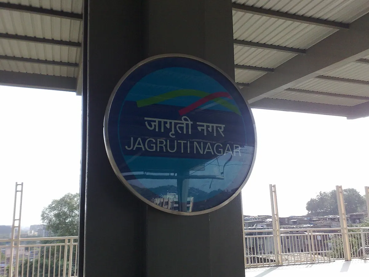
Nearest metro station to Anandgadh, Mumbai
Jagruti Nagar is the nearest metro station to Anandgadh, about 2.1 km away, a walk of roughly 36 minutes.
Jagruti Nagar metro station is the nearest to Anandgadh at 2081 m, about 36 minutes on foot, and it is on Line 1 (Blue Line). Asalpha, Ghatkopar and Saki Naka share the Blue Line and sit between 2350 m and 2763 m away. If you are coming from Ghatkopar, the metro to Jagruti Nagar takes about 2 minutes with no change.
Lokmanyatilak railway station (LTT) is about 4.7 km away but has 168 trains, the most of the railway stations near Anandgadh. Ghat Kopar railway station (GC) is 2.4 km off with 4 trains. Vikhroli railway station (VK) is the closest at 1.5 km, with 3 trains. From Dahisar, the metro to Jagruti Nagar takes about 56 minutes with one change. Varsha Nagar and Fish Market are nearby landmarks.
Metro stations near Anandgadh
| Station | Distance | First / last metro |
|---|---|---|
| Jagruti Nagar Line 1 (Blue Line) |
2.1 km 36 min walk |
05:32 to 23:52 |
| Asalpha Line 1 (Blue Line) |
2.4 km 41 min walk |
05:34 to 23:54 |
| Ghatkopar Line 1 (Blue Line) |
2.4 km 42 min walk |
05:30 to 23:50 |
| Saki Naka Line 1 (Blue Line) |
2.8 km 48 min walk |
05:36 to 23:56 |
Straight-line distance from the Anandgadh map point; the walk along roads is longer, so walking times are estimates.
Map


Tips for getting to Anandgadh
- Ghatkopar to Jagruti Nagar is about 2 minutes with no change, a quick ride.
- Jagruti Nagar metro station is about 36 minutes on foot from Anandgadh.
- Lokmanyatilak railway station (LTT) has 168 trains, far more than Vikhroli's 3.
Metro to Jagruti Nagar (for Anandgadh) from popular stations
| From | Time | Changes |
|---|---|---|
| Dahisar (East) to Jagruti Nagar | 56 min | 1 |
| Ghatkopar to Jagruti Nagar | 2 min | Direct |
| Gundavali to Jagruti Nagar | 1 h 31 min | 2 |
| Hutatma Chowk to Jagruti Nagar | 53 min | 1 |
| Airport Road to Jagruti Nagar | 7 min | Direct |
| Andheri to Jagruti Nagar | 13 min | Direct |
Nearest railway station to Anandgadh
| Railway station | Distance | Trains |
|---|---|---|
| Vikhroli (VK) | 1.5 km | 3 |
| Ghat Kopar (GC) | 2.4 km | 4 |
| Kanjur Marg (KJRD) | 2.8 km | 3 |
| Lokmanyatilak (LTT) | 4.7 km | 165 |
Straight-line distance. Train counts are trains that stop at the station in our timetable.
Buses near Anandgadh
Nearest bus stand: Vikhroli Depot, about 786 m away.
Straight-line distance; walking time adds a little for streets. Bus routes are from OpenStreetMap.
Questions about getting to Anandgadh
Is Ghatkopar metro station a good pick for Anandgadh?
It is 2414 m away, about 42 minutes on foot, though Jagruti Nagar is the closer stop at 2081 m.
Which railway station is closest to Anandgadh?
Vikhroli railway station (VK), about 1.5 km away with 3 trains. Lokmanyatilak (LTT) has far more trains at 168.
How far is Saki Naka metro station from Anandgadh?
About 2763 m, roughly a 48 minute walk on Line 1 (Blue Line).
Which is the nearest metro station to Anandgadh?
Jagruti Nagar on the Line 1 (Blue Line) (Mumbai Metro) is the nearest metro station to Anandgadh, about 2.1 km away in a straight line, roughly a 36 minute walk.
Is there another metro station near Anandgadh?
Yes. Asalpha is about 2.4 km away (Mumbai Metro).
Which is the nearest railway station to Anandgadh?
Vikhroli (VK) is the nearest railway station, about 1.5 km away, with 3 trains stopping there.
Which buses stop near Anandgadh?
Parksite bus stop is about 277 m from Anandgadh, roughly a 5 minute walk. Route 387 stops there in our data.
Which is the nearest bus stand to Anandgadh?
Vikhroli Depot is about 786 m from Anandgadh in a straight line.
Timings and fares: Multiple: Mumbai Metro One Pvt Ltd (Line 1), Maha Mumbai Metro Operation Corporation Ltd (Lines 2A, 2B, 7, 9), Mumbai Metro Rail Corporation Ltd (Line 3) (official site), checked 2026-10-03. Times at intermediate stations are estimates. Station locations: OpenStreetMap contributors. Not affiliated with any metro operator.
Place location: OpenStreetMap.