
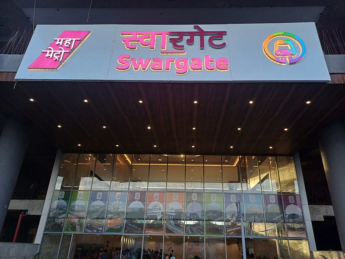
Nearest metro station to Chaitanya Stem Cell Center, Pune
Swargate is the nearest metro station to Chaitanya Stem Cell Center, about 740 m away, a walk of roughly 13 minutes.
Swargate metro station, on the Purple Line (Line 1), is the closest to Chaitanya Stem Cell Center, about 740 m away, roughly a 13 minute walk. Mahatma Phule Mandai, also on the Purple Line, is 1.6 km off and takes about 28 minutes. The Aqua Line stations, Garware College and Deccan Gymkhana, are both about 1.9 km away, roughly 32 and 33 minutes on foot.
Shivaji Nagar railway station is 3.5 km from the centre, with 56 trains. Pune Jn is 4.0 km away and has the most trains, 297. Khadki is 7.1 km away with 57. A ride from District Court to Swargate takes about 7 minutes with no change, and from PCMC Bhavan the ride takes about 34 minutes with no change. Sarasbaug and Purohit Hospital are nearby.
Metro stations near Chaitanya Stem Cell Center
| Station | Distance | First / last metro |
|---|---|---|
| Swargate Purple Line (Line 1) |
740 m 13 min walk |
06:00 to 23:00 |
| महात्मा फुले मंदाई Purple Line (Line 1) |
1.6 km 28 min walk |
06:03 to 23:31 |
| Garware College Aqua Line (Line 2) |
1.9 km 32 min walk |
06:10 to 23:27 |
| Deccan Gymkhana Aqua Line (Line 2) |
1.9 km 33 min walk |
06:12 to 23:25 |
Straight-line distance from the Chaitanya Stem Cell Center map point; the walk along roads is longer, so walking times are estimates.
Map


Tips for getting to Chaitanya Stem Cell Center
- Swargate on the Purple Line (Line 1) is about 740 m from the centre, roughly 13 minutes on foot.
- A ride from PCMC Bhavan to Swargate takes about 34 minutes with no change.
- Pune Jn railway station has 297 trains, about 4.0 km from the centre.
- Garware College and Deccan Gymkhana on the Aqua Line are both about 1.9 km away.
Metro to Swargate (for Chaitanya Stem Cell Center) from popular stations
| From | Time | Changes |
|---|---|---|
| District Court to Swargate | 7 min | Direct |
| PCMC Bhavan to Swargate | 34 min | Direct |
| Agriculture College to Swargate | 15 min | 1 |
| Bopodi to Swargate | 18 min | Direct |
| Dapodi to Swargate | 22 min | Direct |
| Kasarwadi to Swargate | 25 min | Direct |
Nearest railway station to Chaitanya Stem Cell Center
| Railway station | Distance | Trains |
|---|---|---|
| Shivaji Nagar (SVJR) | 3.5 km | 56 |
| Pune Jn (PUNE) | 4.0 km | 299 |
| Khadki (KK) | 7.1 km | 57 |
Straight-line distance. Train counts are trains that stop at the station in our timetable.
Nearest bus stand to Chaitanya Stem Cell Center
Nearest bus stand: Swargate PMPML Bus Stand, about 801 m away.
Straight-line distance; walking time adds a little for streets. Bus routes are from OpenStreetMap.
Questions about getting to Chaitanya Stem Cell Center
How far is Swargate metro station from Chaitanya Stem Cell Center?
About 740 m in a straight line, which is roughly a 13 minute walk.
Which railway station near the centre has the most trains?
Pune Jn railway station, about 4.0 km away, with 297 trains.
Does Mahatma Phule Mandai metro station take long to walk to?
It is about 1.6 km away, roughly a 28 minute walk, so Swargate is the shorter walk.
Which is the nearest metro station to Chaitanya Stem Cell Center?
Swargate on the Purple Line (Line 1) (Pune Metro) is the nearest metro station to Chaitanya Stem Cell Center, about 740 m away in a straight line, roughly a 13 minute walk.
Is there another metro station near Chaitanya Stem Cell Center?
Yes. महात्मा फुले मंदाई is about 1.6 km away (Pune Metro).
Which is the nearest railway station to Chaitanya Stem Cell Center?
Shivaji Nagar (SVJR) is the nearest railway station, about 3.5 km away, with 56 trains stopping there.
Which is the nearest bus stand to Chaitanya Stem Cell Center?
Swargate PMPML Bus Stand is about 801 m from Chaitanya Stem Cell Center in a straight line.
Timings and fares: Maharashtra Metro Rail Corporation Ltd (Maha Metro) (official site), checked 2026-11-15. Times at intermediate stations are estimates. Station locations: OpenStreetMap contributors. Not affiliated with any metro operator.
Place location: OpenStreetMap.