
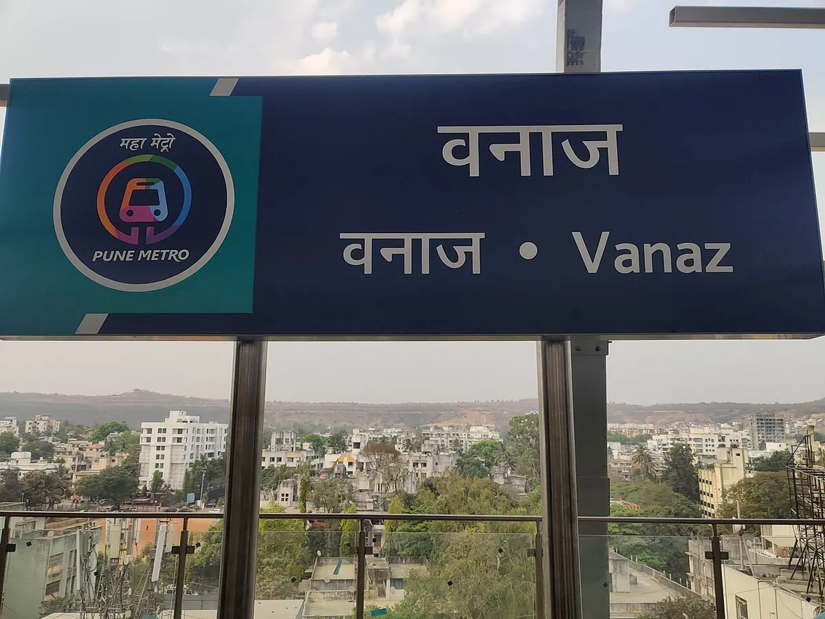
Nearest metro station to Deoyani Hospital, Pune
Vanaz is the nearest metro station to Deoyani Hospital, about 1.5 km away, a walk of roughly 25 minutes.
Vanaz metro station is the nearest to Deoyani Hospital at 1459 m, on the Aqua Line, a walk of about 25 minutes. Anandnagar is almost as close at 1531 m. Paud Phata and SNDT College are further, at 1779 m and 2157 m. All four are on the Aqua Line, so you will not need to change lines to reach any of them.
The nearest railway station is Shivaji Nagar, 5.7 km away, with 56 trains. Pune Jn railway station is 7.4 km away and has the most trains, 297. Khadki railway station is 8.0 km away. Kothrud Stand and Happy Colony are close by if you need a landmark. From District Court, Vanaz is about 17 minutes by metro with no change.
Metro stations near Deoyani Hospital
| Station | Distance | First / last metro |
|---|---|---|
| Vanaz Aqua Line (Line 2) |
1.5 km 25 min walk |
06:00 to 23:00 |
| Anandnagar Aqua Line (Line 2) |
1.5 km 27 min walk |
06:03 to 23:35 |
| Paud Phata Aqua Line (Line 2) |
1.8 km 31 min walk |
06:05 to 23:32 |
| SNDT College Aqua Line (Line 2) |
2.2 km 37 min walk |
06:07 to 23:30 |
Straight-line distance from the Deoyani Hospital map point; the walk along roads is longer, so walking times are estimates.
Map


Tips for getting to Deoyani Hospital
- Vanaz is the closest metro station at 1459 m, about 25 minutes on foot.
- Anandnagar, 1531 m away, is a close alternative on the same Aqua Line.
- Pune Jn railway station has 297 trains, the most nearby, but it is 7.4 km away.
- From District Court, Vanaz is about 17 minutes by metro with no change.
Metro to Vanaz (for Deoyani Hospital) from popular stations
| From | Time | Changes |
|---|---|---|
| District Court to Vanaz | 17 min | Direct |
| PCMC Bhavan to Vanaz | 49 min | 1 |
| Agriculture College to Vanaz | 25 min | 1 |
| Bopodi to Vanaz | 33 min | 1 |
| Dapodi to Vanaz | 36 min | 1 |
| Kasarwadi to Vanaz | 40 min | 1 |
Nearest railway station to Deoyani Hospital
| Railway station | Distance | Trains |
|---|---|---|
| Shivaji Nagar (SVJR) | 5.7 km | 56 |
| Pune Jn (PUNE) | 7.4 km | 299 |
| Khadki (KK) | 8.0 km | 57 |
Straight-line distance. Train counts are trains that stop at the station in our timetable.
Buses near Deoyani Hospital
| Bus stop | Distance | Buses |
|---|---|---|
| Dahanukar Colony 1 min walk | 80 m | 283 |
| Gandhibhavan Corner 2 min walk | 114 m | 283 |
| Dahanukar Colony (Ram Mandir) 4 min walk | 214 m | 283 |
| Kothrud Stand 8 min walk | 436 m | 283 |
Nearest bus stand: MP Group, about 529 m away.
Straight-line distance; walking time adds a little for streets. Bus routes are from OpenStreetMap.
Questions about getting to Deoyani Hospital
Which metro line goes to Deoyani Hospital?
The Aqua Line. Vanaz, Anandnagar, Paud Phata and SNDT College are all on it, within 2157 m.
How far is Vanaz metro station from Deoyani Hospital?
About 1459 m in a straight line, roughly a 25 minute walk.
Which railway station is nearest to Deoyani Hospital?
Shivaji Nagar railway station, about 5.7 km away, with 56 trains.
Which is the nearest metro station to Deoyani Hospital?
Vanaz on the Aqua Line (Line 2) (Pune Metro) is the nearest metro station to Deoyani Hospital, about 1.5 km away in a straight line, roughly a 25 minute walk.
Is there another metro station near Deoyani Hospital?
Yes. Anandnagar is about 1.5 km away (Pune Metro).
Which is the nearest railway station to Deoyani Hospital?
Shivaji Nagar (SVJR) is the nearest railway station, about 5.7 km away, with 56 trains stopping there.
Which buses stop near Deoyani Hospital?
Dahanukar Colony bus stop is about 80 m from Deoyani Hospital, roughly a 1 minute walk. Route 283 stops there in our data.
Which is the nearest bus stand to Deoyani Hospital?
MP Group is about 529 m from Deoyani Hospital in a straight line.
Timings and fares: Maharashtra Metro Rail Corporation Ltd (Maha Metro) (official site), checked 2026-11-15. Times at intermediate stations are estimates. Station locations: OpenStreetMap contributors. Not affiliated with any metro operator.
Place location: OpenStreetMap.