
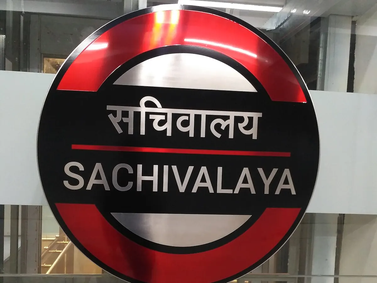
Nearest metro station to Loreto Convent College, Lucknow
Sachivalaya is the nearest metro station to Loreto Convent College, about 1.3 km away, a walk of roughly 23 minutes.
Sachivalaya metro station is the closest to Loreto Convent College, at 1321 m in a straight line, about 23 minutes on foot. Hussainganj and Hazratganj are 1776 m and 1793 m away, roughly 31 minutes each, and all of these stops are on the Red Line. KD Singh Babu Stadium is the farthest at 2425 m, about 42 minutes on foot.
Lucknow Jn railway station is the nearest railway station, 2.8 km away, with 302 trains, the most of the nearby stations. Lucknow Ljn railway station is 3.4 km away with 44 trains, and Badshahnagar railway station is 3.6 km away with 64. From Charbagh Railway Station metro station, Sachivalaya is about 4 minutes with no change, a quick link to the college area. Christ Church College and Vidhan Sabha are nearby landmarks.
Metro stations near Loreto Convent College
| Station | Distance | First / last metro |
|---|---|---|
| Sachivalaya Red Line |
1.3 km 23 min walk |
06:20 to 22:22 |
| Hussainganj Red Line |
1.8 km 31 min walk |
06:21 to 22:22 |
| Hazratganj Red Line |
1.8 km 31 min walk |
06:18 to 22:24 |
| KD Singh Babu Stadium Red Line |
2.4 km 42 min walk |
06:17 to 22:26 |
Straight-line distance from the Loreto Convent College map point; the walk along roads is longer, so walking times are estimates.
Map


Tips for getting to Loreto Convent College
- Sachivalaya metro station is 1321 m away, about 23 minutes on foot.
- Hussainganj and Hazratganj metro stations are both about 31 minutes on foot from the college.
- Lucknow Jn railway station, 2.8 km away, has 302 trains.
- Sachivalaya is about 11 minutes by metro from Badshah Nagar, with no change needed.
Metro to Sachivalaya (for Loreto Convent College) from popular stations
| From | Time | Changes |
|---|---|---|
| Chaudhary Charan Singh International Airport to Sachivalaya | 22 min | Direct |
| Badshah Nagar to Sachivalaya | 11 min | Direct |
| Charbagh Railway Station to Sachivalaya | 4 min | Direct |
| Durgapuri to Sachivalaya | 6 min | Direct |
| Mawaiya to Sachivalaya | 7 min | Direct |
| Singar Nagar to Sachivalaya | 13 min | Direct |
Nearest railway station to Loreto Convent College
| Railway station | Distance | Trains |
|---|---|---|
| Lucknow Jn (LKO) | 2.8 km | 301 |
| Lucknow Ljn (LJN) | 3.4 km | 44 |
| Badshahnagar (BNZ) | 3.6 km | 64 |
Straight-line distance. Train counts are trains that stop at the station in our timetable.
Nearest bus stand to Loreto Convent College
Nearest bus stand: Hazratganj Metro Station, about 1.7 km away.
Straight-line distance; walking time adds a little for streets. Bus routes are from OpenStreetMap.
Questions about getting to Loreto Convent College
How long is the walk from KD Singh Babu Stadium metro station to Loreto Convent College?
About 42 minutes, covering 2425 m in a straight line.
Is Badshahnagar railway station a good choice for Loreto Convent College?
It is 3.6 km away, farther than Lucknow Jn at 2.8 km, though it has 64 trains.
Can I walk from Sachivalaya metro station to Loreto Convent College?
It is 1321 m in a straight line, roughly 23 minutes on foot.
Which is the nearest metro station to Loreto Convent College?
Sachivalaya on the Red Line (Lucknow Metro) is the nearest metro station to Loreto Convent College, about 1.3 km away in a straight line, roughly a 23 minute walk.
Is there another metro station near Loreto Convent College?
Yes. Hussainganj is about 1.8 km away (Lucknow Metro).
Which is the nearest railway station to Loreto Convent College?
Lucknow Jn (LKO) is the nearest railway station, about 2.8 km away, with 301 trains stopping there.
Which is the nearest bus stand to Loreto Convent College?
Hazratganj Metro Station is about 1.7 km from Loreto Convent College in a straight line.
Timings and fares: Uttar Pradesh Metro Rail Corporation (UPMRC) (official site), checked 2026-10-03. Times at intermediate stations are estimates. Station locations: OpenStreetMap contributors. Not affiliated with any metro operator.
Place location: OpenStreetMap.