
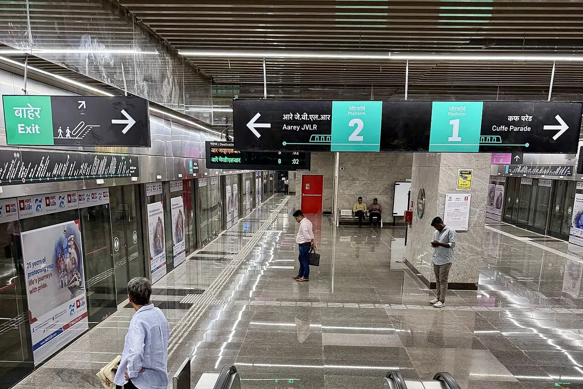
Nearest metro station to S Bridge, Mumbai
Mahalaxmi is the nearest metro station to S Bridge, about 708 m away, a walk of roughly 12 minutes.
Mahalaxmi metro station is the closest to S Bridge, about 708 m away, a walk of about 12 minutes on Line 3 (Aqua Line). Jagannath Shankar Sheth and Science Museum are on the same line, at 1555 m and 1711 m, about 27 and 30 minutes on foot. Grant Road is the furthest at 2329 m, a walk of about 40 minutes.
Byculla railway station is only 0.3 km away, with 4 trains, and Bby Chinchpkili railway station is 0.8 km away with 3 trains. Bmby Currey RD railway station is 1.6 km away, also with 3 trains. Dadar railway station is 4.4 km away and has the most trains, 124. Coming from Ghatkopar, the ride to Mahalaxmi takes about 44 minutes with 1 change. Bhau Daji Lad Museum and Jijamata Udyan are nearby landmarks.
Metro stations near S Bridge
| Station | Distance | First / last metro |
|---|---|---|
| Mahalaxmi Line 3 (Aqua Line) |
708 m 12 min walk |
06:11 to 23:09 |
| Jagannath Shankar Sheth Line 3 (Aqua Line) |
1.6 km 27 min walk |
06:09 to 23:11 |
| Science Museum Line 3 (Aqua Line) |
1.7 km 30 min walk |
06:13 to 23:06 |
| Grant Road Line 3 (Aqua Line) |
2.3 km 40 min walk |
06:07 to 23:12 |
Straight-line distance from the S Bridge map point; the walk along roads is longer, so walking times are estimates.
Map


Tips for getting to S Bridge
- Mahalaxmi metro station is about 12 minutes on foot, the shortest walk here.
- Byculla railway station is only 0.3 km away, but it has 4 trains.
- Dadar railway station has 124 trains but is 4.4 km away.
Metro to Mahalaxmi (for S Bridge) from popular stations
| From | Time | Changes |
|---|---|---|
| Dahisar (East) to Mahalaxmi | 1 h 27 min | 2 |
| Ghatkopar to Mahalaxmi | 44 min | 1 |
| Gundavali to Mahalaxmi | 2 h 2 min | 3 |
| Hutatma Chowk to Mahalaxmi | 10 min | Direct |
| Airport Road to Mahalaxmi | 38 min | 1 |
| Andheri to Mahalaxmi | 44 min | 1 |
Nearest railway station to S Bridge
| Railway station | Distance | Trains |
|---|---|---|
| Byculla (BY) | 0.3 km | 4 |
| Bby Chinchpkili (CHG) | 0.8 km | 3 |
| Bmby Currey RD (CRD) | 1.6 km | 3 |
| C Shivaji Mah T (CSMT) | 4.3 km | 118 |
Straight-line distance. Train counts are trains that stop at the station in our timetable.
Buses near S Bridge
| Bus stop | Distance | Buses |
|---|---|---|
| S Bridge 1 min walk | 36 m | 2LTD, 14, 63, A-164 |
| Jijamata Udyan 3 min walk | 194 m | 1, 3, 4LTD, 6LTD, 6LTDX, 7LTD, 8LTD, 9 and 21 more |
| Byculla Station (East) 4 min walk | 245 m | 1, 3, 4LTD, 6LTD, 6LTDX, 7LTD, 8LTD, 9 and 21 more |
| Byculla Station (W) 5 min walk | 274 m | 2LTD, 14, 63, A-164 |
Nearest bus stand: Bus Agencies, about 1.5 km away.
Straight-line distance; walking time adds a little for streets. Bus routes are from OpenStreetMap.
Questions about getting to S Bridge
How far is S Bridge from Science Museum metro station?
It is about 1711 m in a straight line, roughly a 30 minute walk.
Which railway station is nearest to S Bridge?
Byculla railway station, about 0.3 km away with 4 trains.
Which metro line goes to S Bridge?
Line 3 (Aqua Line). Mahalaxmi, Jagannath Shankar Sheth, Science Museum and Grant Road metro stations are all on it.
Which is the nearest metro station to S Bridge?
Mahalaxmi on the Line 3 (Aqua Line) (Mumbai Metro) is the nearest metro station to S Bridge, about 708 m away in a straight line, roughly a 12 minute walk.
Is there another metro station near S Bridge?
Yes. Jagannath Shankar Sheth is about 1.6 km away (Mumbai Metro).
Which is the nearest railway station to S Bridge?
Byculla (BY) is the nearest railway station, about 0.3 km away, with 4 trains stopping there.
Which buses stop near S Bridge?
S Bridge bus stop is about 36 m from S Bridge, roughly a 1 minute walk. Routes 2LTD, 14, 63 and A-164 stop there in our data.
Which is the nearest bus stand to S Bridge?
Bus Agencies is about 1.5 km from S Bridge in a straight line.
Timings and fares: Multiple: Mumbai Metro One Pvt Ltd (Line 1), Maha Mumbai Metro Operation Corporation Ltd (Lines 2A, 2B, 7, 9), Mumbai Metro Rail Corporation Ltd (Line 3) (official site), checked 2026-10-03. Times at intermediate stations are estimates. Station locations: OpenStreetMap contributors. Not affiliated with any metro operator.
Place location: OpenStreetMap.