
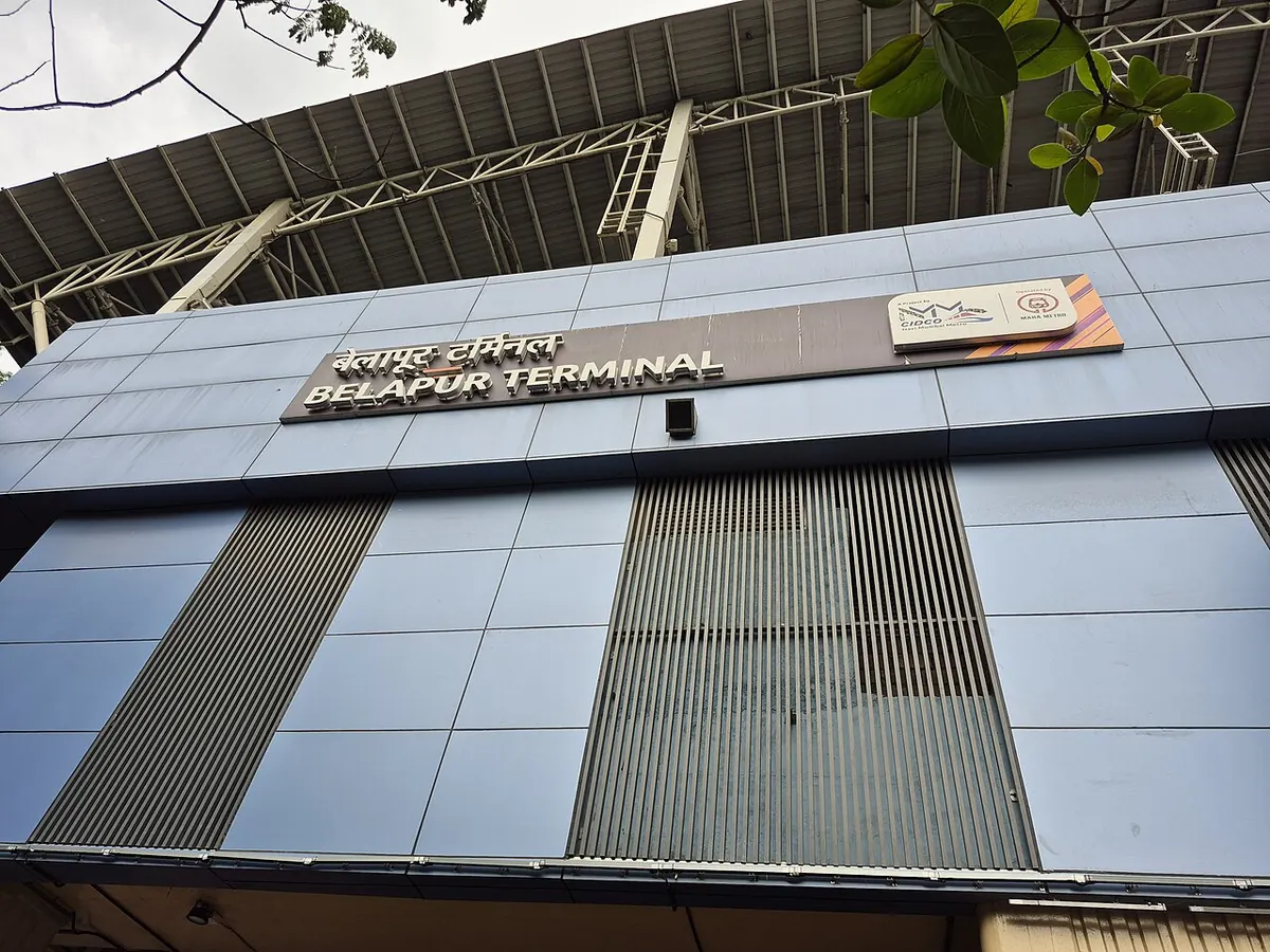
Nearest metro station to Sai Asha Hospital, Navi Mumbai
CBD Belapur is the nearest metro station to Sai Asha Hospital, about 2.9 km away, a walk of roughly 51 minutes.
CBD Belapur metro station on Line 1 is 2929 m from Sai Asha Hospital, about a 51 minute walk. RBI Colony, the other Line 1 station here, is 3444 m away and takes around 60 minutes on foot, so most visitors will prefer CBD Belapur. Sector 34 metro station gets you to CBD Belapur in about 16 minutes with no change, Panchanand in about 18, and Pendhar in about 19.
By train, Taloja Panchand railway station is the closest at 8.5 km, with 24 trains, and Navade Road railway station is 8.9 km away with 19 trains. Panvel railway station is 12.0 km away but has the most trains, 172. Nerul East and Surya Hospital and Iccu are nearby landmarks in the same area.
Metro stations near Sai Asha Hospital
| Station | Distance | First / last metro |
|---|---|---|
| CBD Belapur Line 1 |
2.9 km 51 min walk |
06:00 to 22:00 |
| RBI Colony Line 1 |
3.4 km 60 min walk |
06:02 to 22:03 |
Straight-line distance from the Sai Asha Hospital map point; the walk along roads is longer, so walking times are estimates.
Map


Tips for getting to Sai Asha Hospital
- Choose CBD Belapur metro station, 2929 m or about 51 minutes on foot.
- Riders from Sector 34 reach CBD Belapur in about 16 minutes, no change needed.
- Taloja Panchand railway station is the nearest for trains, at 8.5 km.
- Panvel railway station has 172 trains, but it is 12.0 km away.
Metro to CBD Belapur (for Sai Asha Hospital) from popular stations
| From | Time | Changes |
|---|---|---|
| Panchanand to CBD Belapur | 18 min | Direct |
| Sector 34 to CBD Belapur | 16 min | Direct |
| Pendhar to CBD Belapur | 19 min | Direct |
| Central Park to CBD Belapur | 11 min | Direct |
| Utsav Chowk to CBD Belapur | 5 min | Direct |
| Belpada to CBD Belapur | 3 min | Direct |
Nearest railway station to Sai Asha Hospital
| Railway station | Distance | Trains |
|---|---|---|
| Nerul (NEU) | 0.5 km | 4 |
| Jui Nagar (JNJ) | 2.0 km | 4 |
| Taloja Panchand (TPND) | 8.5 km | 20 |
| Panvel (PNVL) | 12.0 km | 143 |
Straight-line distance. Train counts are trains that stop at the station in our timetable.
Buses near Sai Asha Hospital
| Bus stop | Distance | Buses |
|---|---|---|
| Balaji Building 4 min walk | 202 m | 511LTD, 512LTD |
| Nerul Village 7 min walk | 404 m | 502LTD |
| Parsik Bank Bus Stop 7 min walk | 423 m | 511LTD, 512LTD |
| Nerul West 8 min walk | 451 m | 502LTD |
Nearest bus stand: Nerul Bus Station, about 261 m away.
Straight-line distance; walking time adds a little for streets. Bus routes are from OpenStreetMap.
Questions about getting to Sai Asha Hospital
How far is Sai Asha Hospital from CBD Belapur metro station?
About 2929 m in a straight line, roughly 51 minutes on foot.
Which metro line goes to Sai Asha Hospital?
Line 1 of the Navi Mumbai Metro, with CBD Belapur and RBI Colony as the closest stations.
Is Nerul East a good landmark for Sai Asha Hospital?
Nerul East is one of the nearby landmarks, and it can help when you ask for directions.
Which is the nearest metro station to Sai Asha Hospital?
CBD Belapur on the Line 1 (Navi Mumbai Metro) is the nearest metro station to Sai Asha Hospital, about 2.9 km away in a straight line, roughly a 51 minute walk.
Is there another metro station near Sai Asha Hospital?
Yes. RBI Colony is about 3.4 km away (Navi Mumbai Metro).
Which is the nearest railway station to Sai Asha Hospital?
Nerul (NEU) is the nearest railway station, about 0.5 km away, with 4 trains stopping there.
Which buses stop near Sai Asha Hospital?
Balaji Building bus stop is about 202 m from Sai Asha Hospital, roughly a 4 minute walk. Routes 511LTD and 512LTD stop there in our data.
Which is the nearest bus stand to Sai Asha Hospital?
Nerul Bus Station is about 261 m from Sai Asha Hospital in a straight line.
Timings and fares: Maha Metro (Maharashtra Metro Rail Corporation Ltd) for CIDCO (official site), checked 2026-10-03. Times at intermediate stations are estimates. Station locations: OpenStreetMap contributors. Not affiliated with any metro operator.
Place location: OpenStreetMap.